This article is taken from The Architectural Review February 1964 reprinted 2015 by Martin Roberts as “Nairn’s County Durham” Ian Nairn p.44 & 56
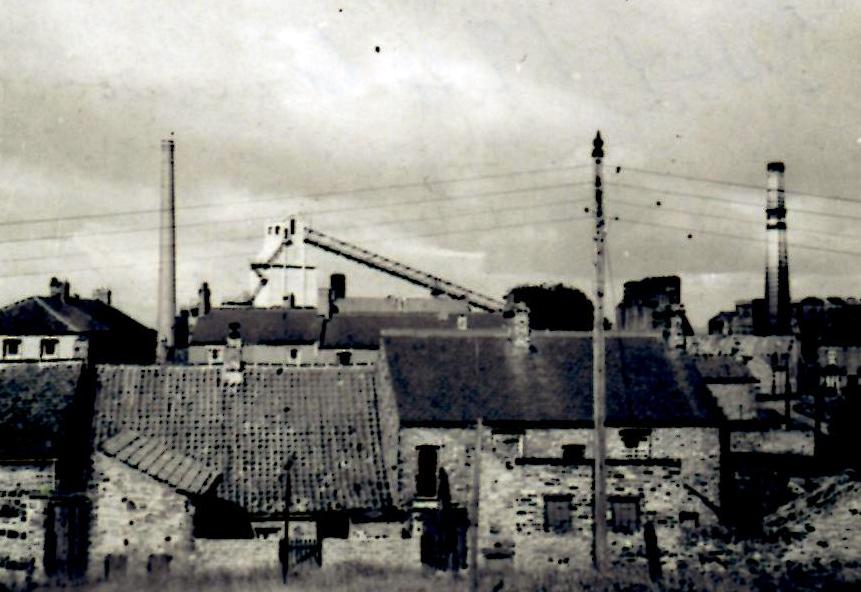
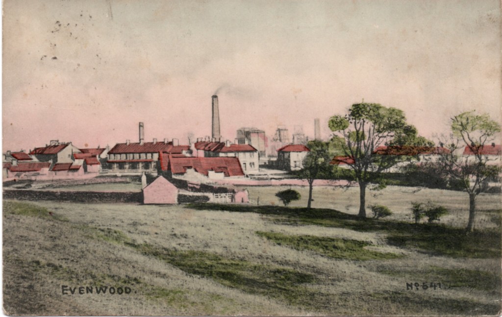
“EVENWOOD: The next village to Cockfield and the same recipe – industry superimposed on the village green – but a completely different result. Where Cockfield is robustly simple, Evenwood is one of the most subtle and complicated villages in the county and the industry has augmented this character rather than spoiling it. Basically, a square village green. The road runs off the centre near the eastern side and houses have grown up around it, called simply, “The Centre”. These are a wonderful huddle of shapes and sizes, still in good condition and must be kept. So many of them, in fact, that village street has been superimposed on the village green. The part behind to the west feels like a remote backwater, an extension of the working farm which takes up most of the west side. The part to the east is all intricate corners, squashed up under the silhouette of the pit gear a field away. County Durham in a nutshell. And this tension is carried down to the smallest thing, which makes a walk around Evenwood really exciting. A violent row rightly called Accrington Terrace, amongst the cottages, staid Victorian stockbrick broken by the big gable of a doctor’s surgery. Tiny pantiled cottages everywhere, miraculously used as storehouses or extra rooms instead of being demolished. Although it is in good condition, this is such an unlikely place in which to find one of the best villages in Durham that it needs an especial watch kept on it.”
Some images of the green and the Centre.


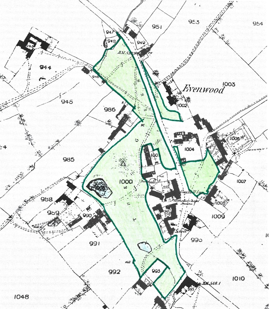
The 3 maps which follow show the centre of Evenwood, particularly around the green, in relation to housing and industry as mentioned by Ian Nairn in the above article. They are not intended to show any land ownership or have any legal basis. Areas have been edged and coloured simply to show the extent of the grassed areas within the centre of Evenwood. The third map shows the defined area of the “registered village green.”
Below: The 1st Ordnance Survey map was surveyed in 1857 and published in 1859. The area known as The Green has been edged and coloured green to show its extent. The land to the east of the main through road ( Evenwood Gate to Ramshaw) is assumed to have been grassed. There are a number of roads/tracks crossing over the land.
Below: The 2nd OS map was published in 1898. St. Paul’s Church was built in 1865/66 on the northern part of the green. It is believed that the land to the south of the church was intended to be a cemetery. However, following public objections, the church authorities reconsidered the scheme and an alternative site was chosen – land at Oaks Bank.

The Village Green is a “registered” village green, reference number VG33.
Below: The map is based on an OS map published about 1970. The areas edged and coloured green are those areas included on the registered village green map.

