The purpose of this toll road was to connect the Great North Road which joined London with Edinburgh passing through County Durham at Darlington and Durham City to the trans-Pennine route from Scotch Corner to Penrith. The intention was to improve a major cross country link from the North East, particularly County Durham to the North West.
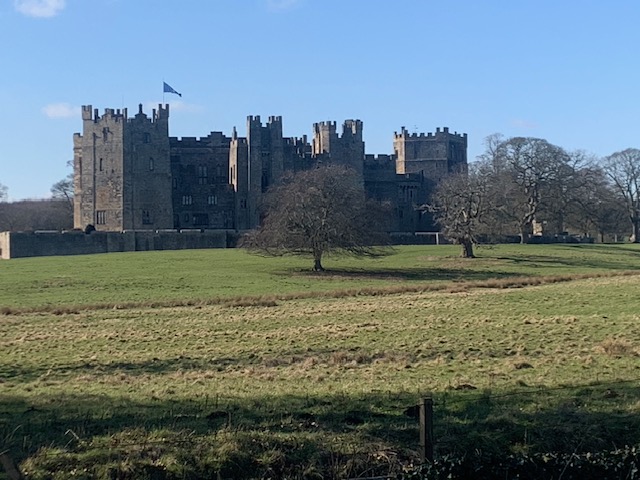
This road started in County Durham at Sunderland Bridge which was the major crossing over the River Wear, some 3 miles south of Durham City, and travelled south westwards through Tudhoe, Spennymoor, Bishop Auckland, West Auckland and south of Evenwood to the Keverstone ridge above the fertile Tees Valley, down past Raby Castle to Staindrop, westwards to Barnard Castle, over the River Tees and on towards Bowes, then in the North Riding of Yorkshire. Bowes is a village located on the Scotch Corner to Penrith road, some 16 miles from Scotch Corner and 36 miles from Penrith.
South west Durham is located on what was known as the Great Northern Coalfield (Durham and Northumberland). The area to the west of Bishop Auckland was where the coal seams reached the surface and were easily mined. From the 14th century, places such as Copley, Cockfield, Evenwood and Railey Fell had a history of small scale coal extraction. In the mid-18th century, coal mining industry was still in its infancy. Improvement of this route, together with others such as in 1751, the 21 miles between Darlington and West Auckland, would allow the easier movement of coal via horse drawn carts and teams of pack horses. This would assist in improving commercial enterprise of the area. The Darlington to West Auckland road was then actually known as the “Coal Road” which implies an existing trade in the commodity.
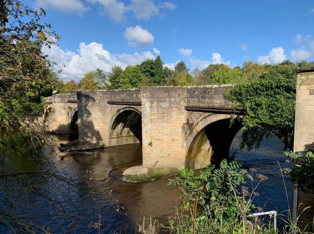
Below: SUNDERLAND BRIDGE: DURHAM 3 MILES, BOWES 26 MILES
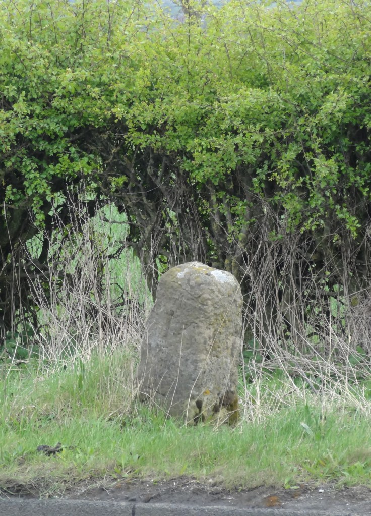
Today, there are no surviving features from the early days of the toll road on the north eastern section until about the half way point near Evenwood Gate where the first milestone is seen by the roadside. It is 15 miles from Durham City and 14 miles from Bowes. There are eight original milestones.
Below: EAST OF EVENWOOD GATE: DURHAM 15 MILES, BOWES 14 MILES
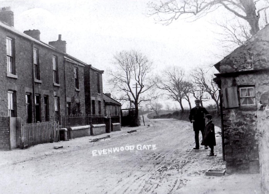
Below: EVENWOOD GATE: c.1930 THE TOLL GATE HOUSE IS TO THE RIGHT OF THE PICTURE.
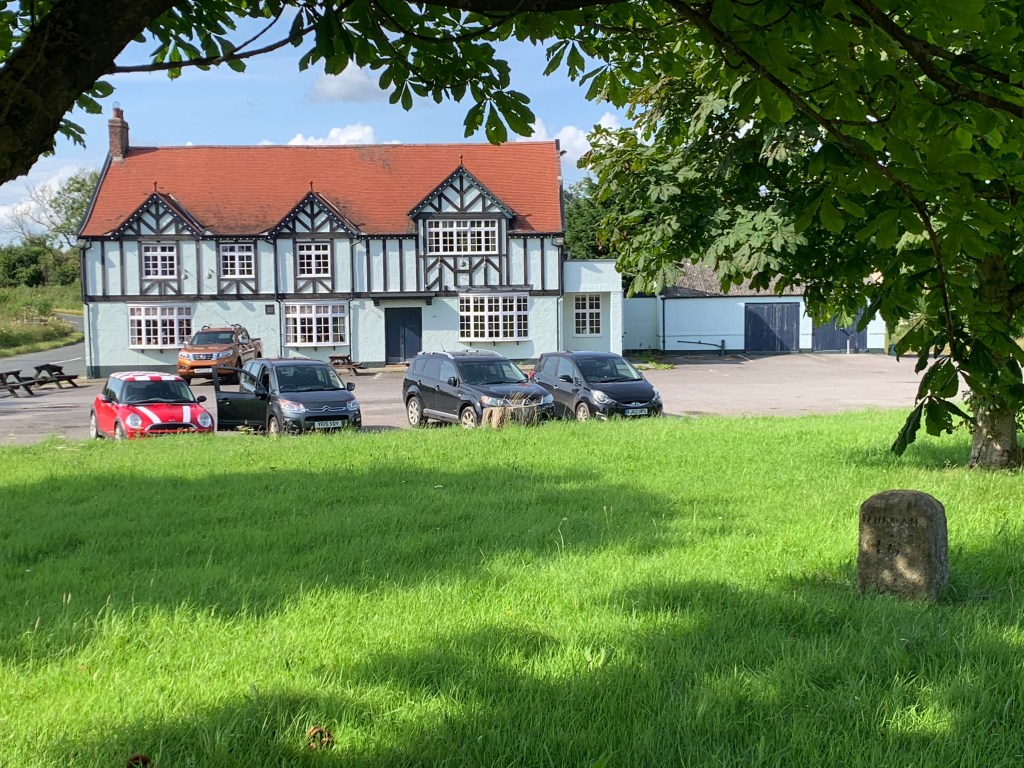
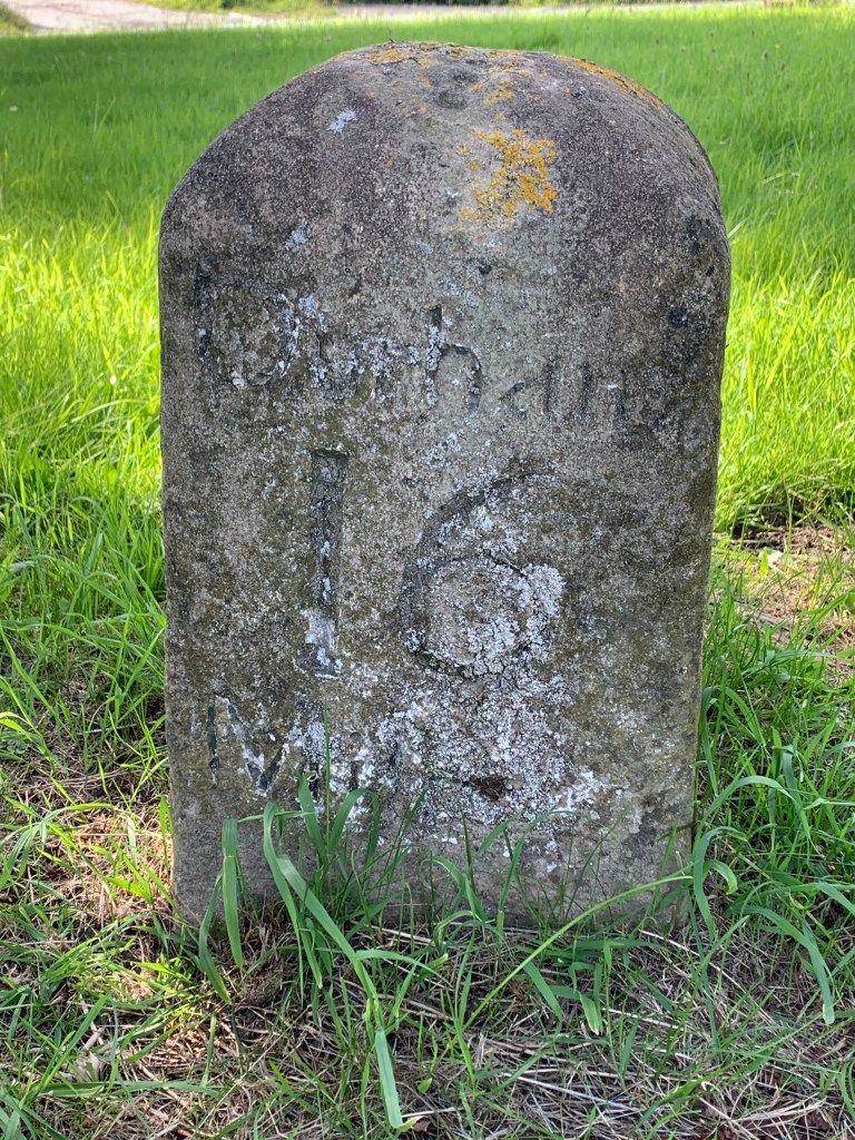
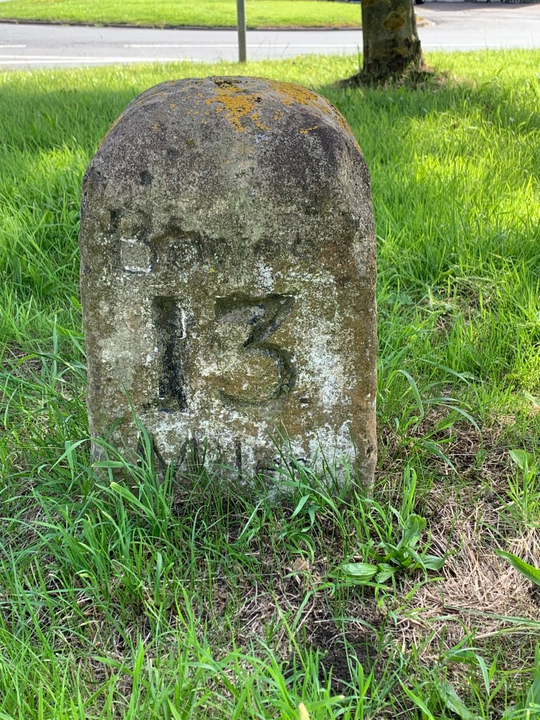
Below: THE SUN INN: DURHAM 16 MILES, BOWES 13 MILES
Below: EAST OF KEVERSTONE GRANGE: DURHAM 17 MILES, BOWES 12 MILES
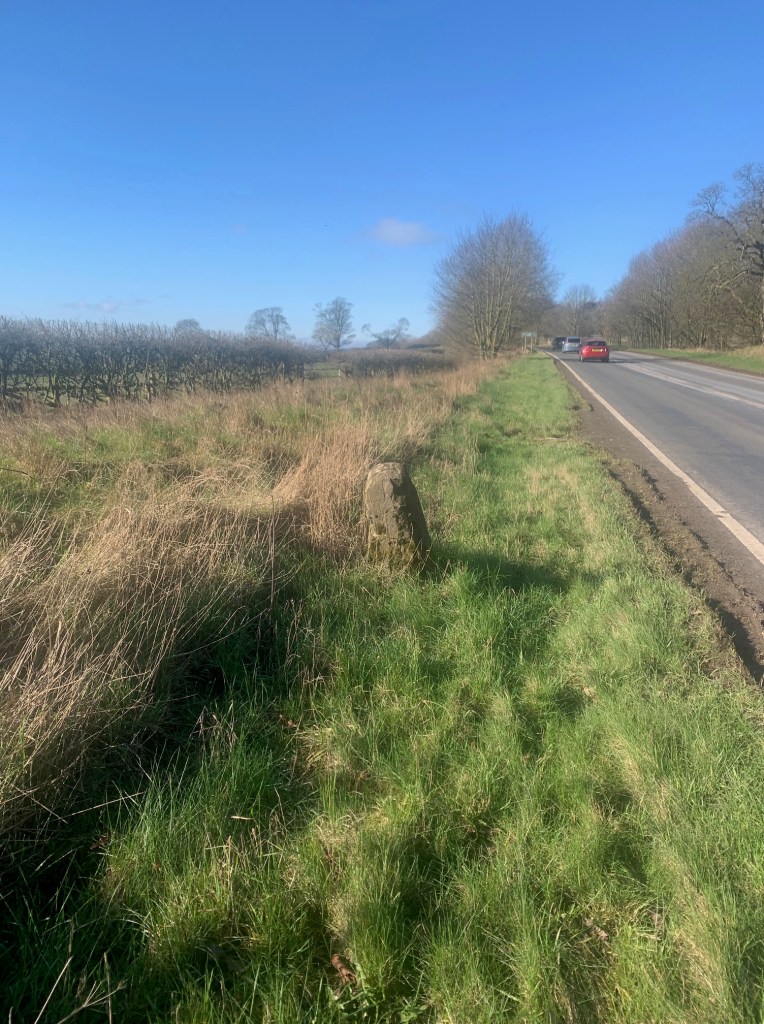
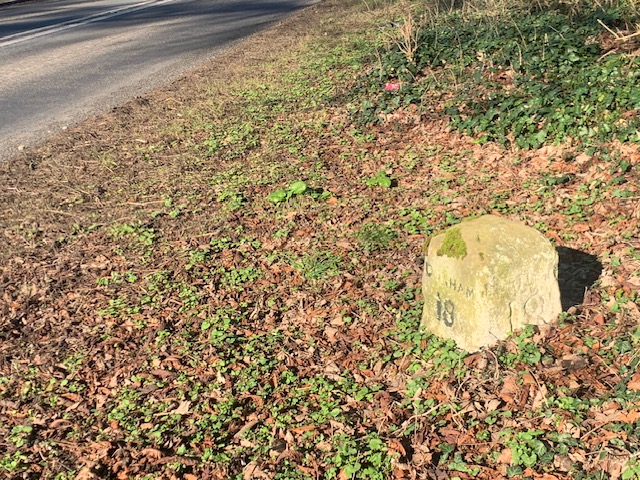
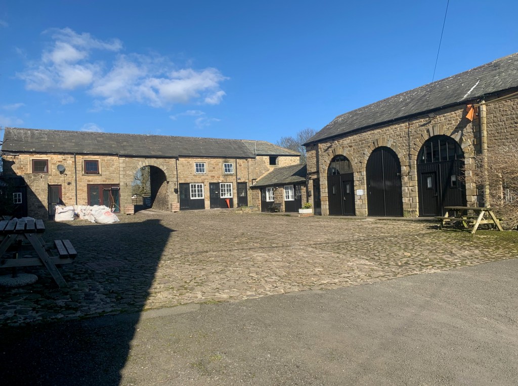
Below: SOUTH OF RABY CASTLE: DURHAM 18 MILES, BOWES 11 MILES
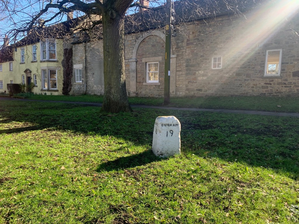
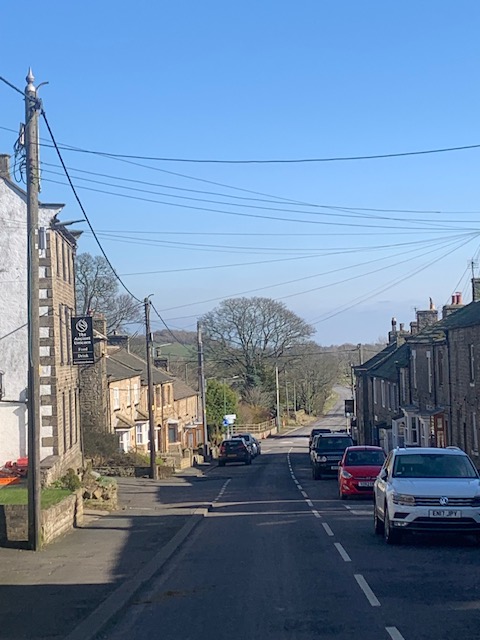
Below: STAINDROP VILLAGE GREEN: DURHAM 19 MILES, BOWES 10 MILES
Below: EAST OF BARFORD CORNER: DURHAM 21 MILES, BOWES 8 MILES
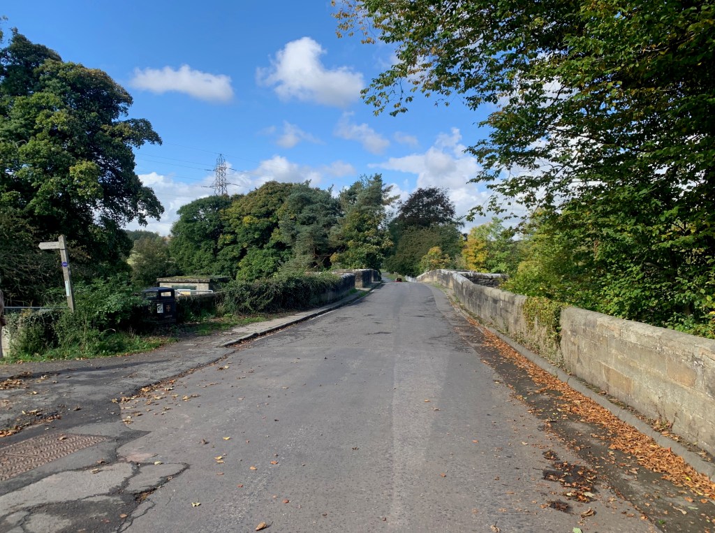
Below: BARNARD CASTLE TO DURHAM CITY 25 MILES, BOWES 4 MILES
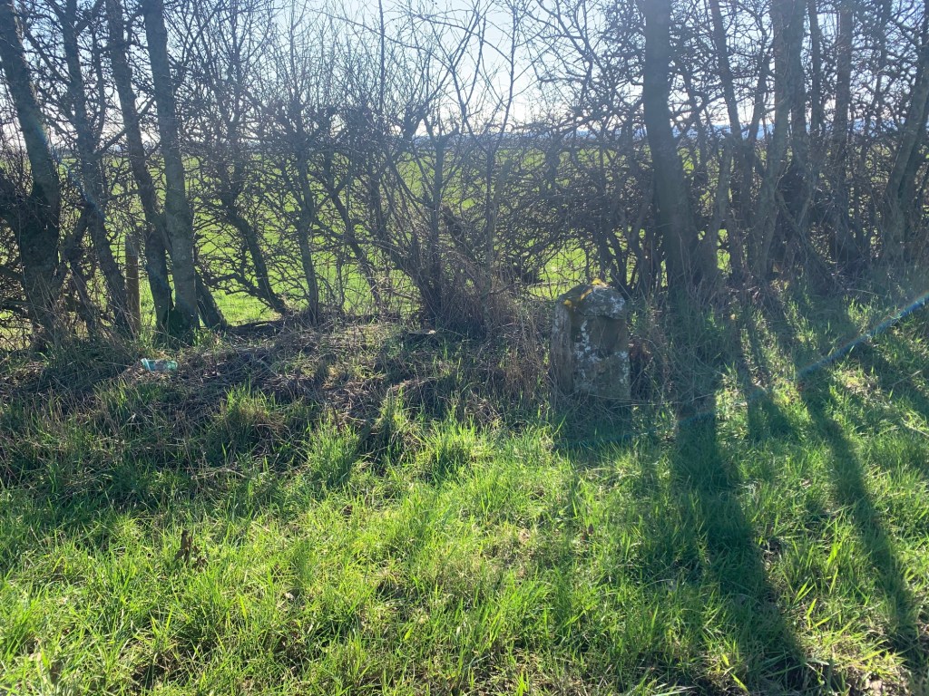
Awaiting photo
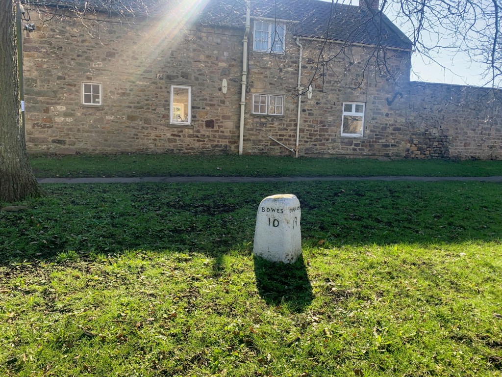
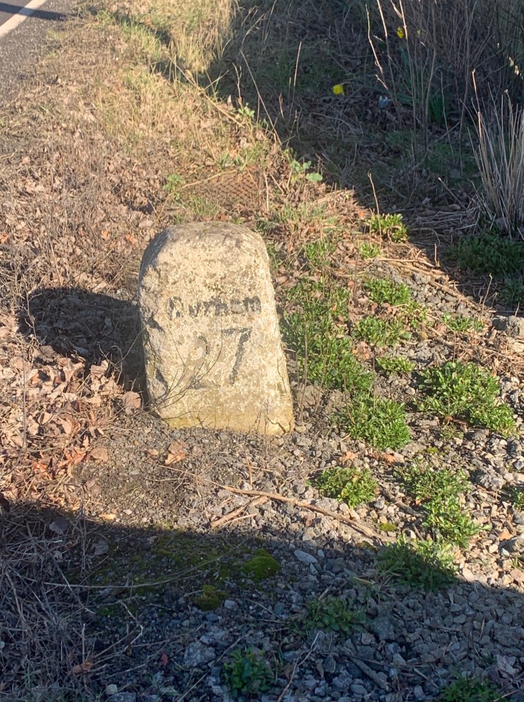
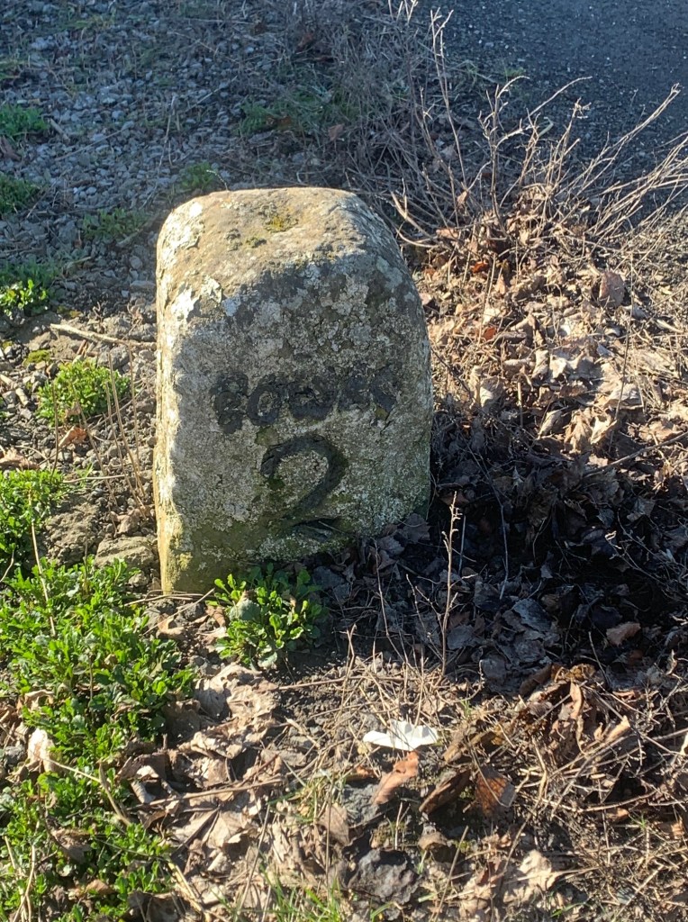
Below: BOWES ROAD: DURHAM 27 MILES, BOWES 2 MILES
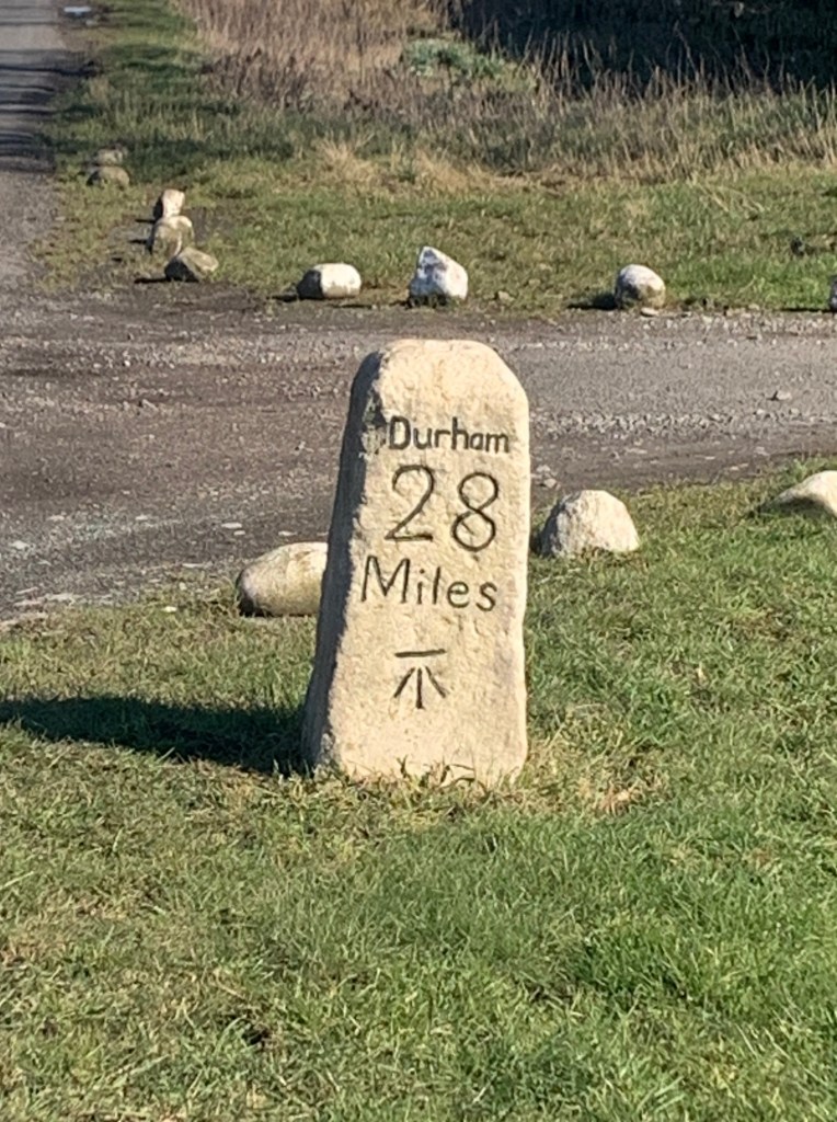
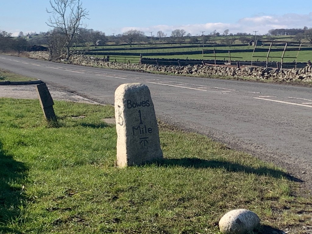
Below: MILESTONE FARM: DURHAM 28 MILES, BOWES 1 MILE
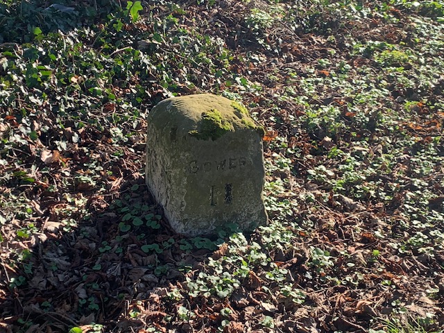
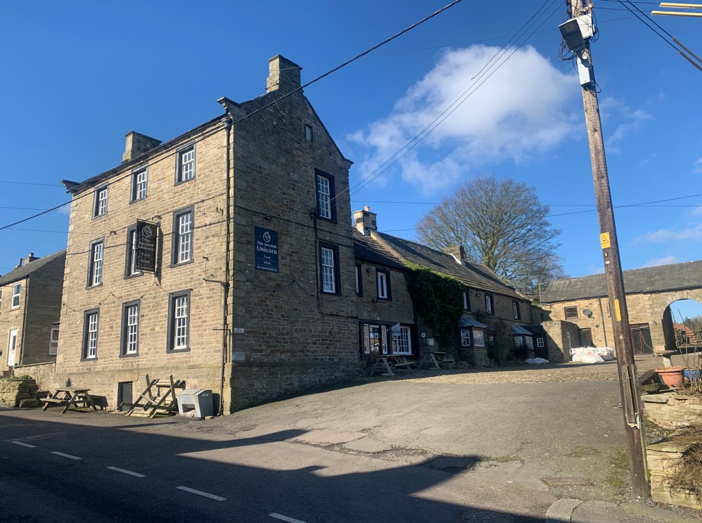
Below: THE ANCIENT UNICORN, BOWES: DURHAM 29 MILES
Below: Looking eastwards to Scotch Corner and the road to County Durham.
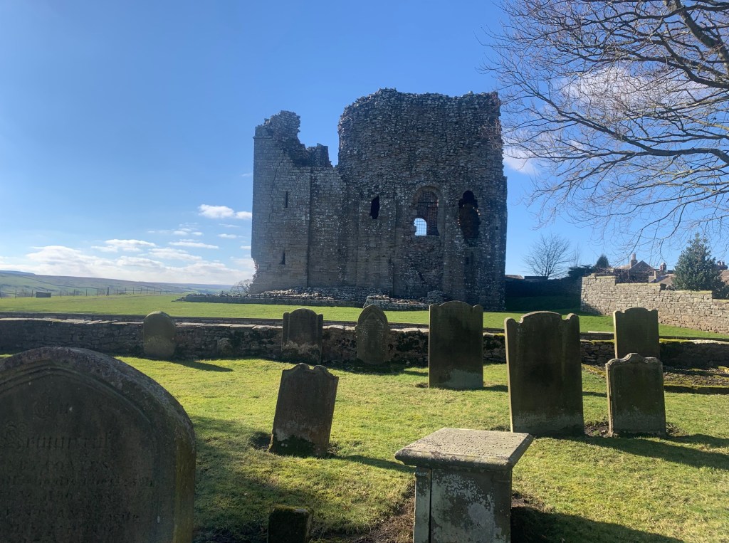
Below: BOWES CASTLE
MODERN ROAD CLASSIFICATION
The Sunderland Bridge to Barnard Castle road now forms part of the A167, B6288 and A688 roads. The Darlington to West Auckland road now forms part of the A66. The Scotch Corner to Penrith road is now part of the A67 which forms an important link between the A1(M) in North Yorkshire and the M6, junction 40 in Cumbria, in the North West of England.
